
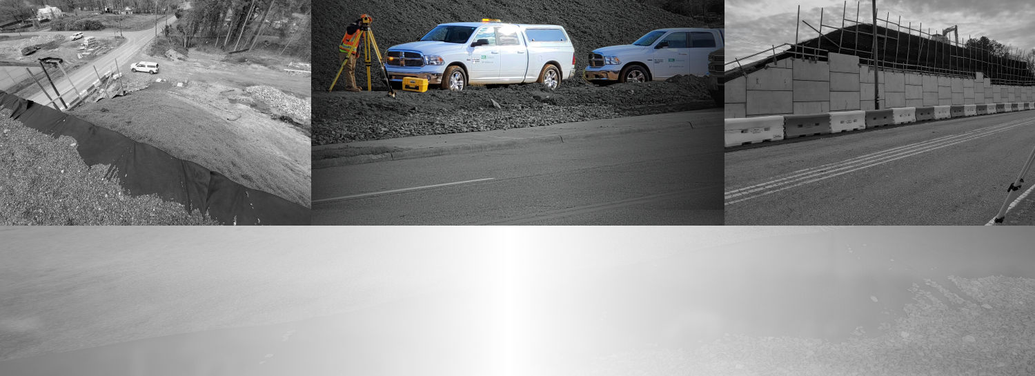
Our Experience
Clients appreciate our commitment to using the latest technologies and services of true experts to satisfy our clients' geophysical needs — whether you need to map underground utility systems, survey an existing land parcel, delineate buried debris or artifacts, or analyze fracture patterns in bedrock.
Whatever your needs, GEL Solutions very likely has similar projects under our belt giving you confidence in our approach to cost savings, working on tight schedules, and ensuring safety. Our satisfied clients include:
- Architect/Engineering Firms
- Environmental Firms
- Departments of Transportation
- Department of Defense
- Department of Energy
- Nuclear and Fossil Fuel Electric Generating Stations
- Municipalities
- Universities and Secondary Schools
- Utility Owners
- Airports
- Surveying Firms
- Archaeology Firms
- Industrial Facilities
Case Studies
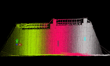
3D Laser Scanning Services for MSE Wall Monitoring
For this on-going project, GEL Solutions is providing conventional surveying and modern terrestrial LiDAR technology to monitor Mechanically Stabilized Earth (MSE) walls being constructed in Guilford County, North Carolina.
Learn More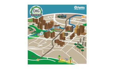
ReWa Gravity Sewer Tunnel
DIG Greenville, a wastewater conveyance project by Renewable Water Resources (ReWa), will address some of Greenville County’s 100-year sewage needs. The project will involve the construction of a gravity sewer tunnel 100 feet below ground. It will span from Hudson Street to Cleveland Park in Greenville, SC.
Graphic courtesy of ReWa
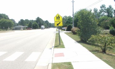
US Highway 301 Land Surveying
GEL Solutions executed a full conventional survey of 22,000 feet of US 301 and four intersecting streets in Wilson, NC. These included Lipscomb Road, Martin Luther King Parkway/Nash Street, Black Creek Road and Herring Avenue.
Learn More