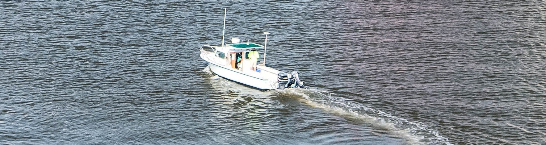
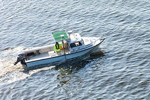
What Is Hydrographic Surveying?
Hydrographic surveying is the process of mapping underwater topography and physical characteristics of water bodies. Surveyors measure water depth, seafloor shape, sediment type, and the location of submerged structures. The resulting data feeds into:
-
Nautical Charts & Marine Navigation – Creating accurate bathymetric maps to guide commercial shipping, fishing vessels, and recreational boaters.
-
Infrastructure Development – Supporting bridges, dams, piers, offshore wind farms, and underwater pipeline installation.
-
Flood-Risk Modeling – Analyzing rivers and coastal zones to predict and mitigate flood damage.
-
Environmental Monitoring – Tracking sedimentation, water quality, and habitat health to protect aquatic ecosystems.
*For an entertaining view of a hydrographic survey, check out our sea shanty at the end of this post!
Why Hydrographic Surveys Are Important
1. Safe Navigation
Bathymetric data identifies hidden hazards, shallow channels, and safe passages, reducing the risk of collisions or groundings.
2. Marine & Coastal Infrastructure
Ports, marinas, dredging projects, and shoreline stabilization all rely on precise underwater measurements to design and maintain critical facilities.
3. Environmental Protection
Survey data helps agencies monitor erosion, sediment transport, and habitat changes—vital for fisheries management and climate-change adaptation.
4. Disaster Preparedness
From tsunami modeling to hurricane-driven storm-surge predictions, hydrographic surveys provide the baseline information needed for emergency planning and coastal resilience.
Key Hydrographic Surveying Methods
-
Single-Beam & Multi-Beam Echo Sounding – Uses sound waves to calculate water depth and generate detailed seafloor maps.
-
Side-Scan Sonar – Produces high-resolution images of shipwrecks, rock outcrops, or pipeline routes.
-
Remotely Operated & Autonomous Vehicles (ROVs/AUVs) – Capture deep-water data and collect samples in areas unsafe for divers.
Technology Driving the Future
Modern hydrographic surveys leverage:
-
Autonomous Surface Vessels and Drones for faster, safer data collection.
-
Real-Time Data Processing to speed decision-making on site.
-
Artificial Intelligence & Machine Learning to interpret massive bathymetric datasets and predict future seabed changes.
Ready to Talk to an Expert?
Hydrographic surveying is the foundation of waterway mapping and a cornerstone of maritime safety, infrastructure development, and environmental stewardship. As sensor technology, AI, and autonomous platforms continue to advance, hydrographic survey data will become even more accurate and accessible, supporting sustainable management of our oceans, rivers, and coastal resources.
Contact GEL's professional surveying team to discuss your hydrographic surveying needs: Contact Information and Office Locations | GEL Engineering | GEL Engineering | The GEL Group
The Hydrographic Survey Shanty
(To the tune of a sea shanty, with a rollicking rhythm and hearty chorus)
Verse 1:
Oh, we sail on the waves so wide,
With our sonar to guide us, side by side.
We measure the depths and the sea's embrace,
Mapping the floor of the ocean's space!
Chorus:
Heave ho, and mark the tide!
Depths below and the waves so wide!
Heave ho, let the data flow,
Hydrographic survey, off we go!
Verse 2:
With echoing sound and sonar so fine,
We chart the depths, 'cross the waterline!
From the shallow shores to the depths so deep,
We measure the seabed where secrets sleep!
Chorus:
Heave ho, and mark the tide!
Depths below and the waves so wide!
Heave ho, let the data flow,
Hydrographic survey, off we go!
Verse 3:
Side-scan sonar’s our trusty tool,
Showing the wrecks, the rocks, and the pool,
LiDAR above with a laser bright,
Gives us the data in the day and night!
Chorus:
Heave ho, and mark the tide!
Depths below and the waves so wide!
Heave ho, let the data flow,
Hydrographic survey, off we go!
Verse 4:
AUVs dive down, so deep and clear,
In the ocean's heart, we have no fear,
Mapping the seabed, where currents run,
With the hydrographic work that’s never done!
Chorus:
Heave ho, and mark the tide!
Depths below and the waves so wide!
Heave ho, let the data flow,
Hydrographic survey, off we go!
Verse 5:
From the ships that sail on the boundless sea,
To the shores of the land where we’ll always be,
We measure the waters, both far and near,
Hydrographic survey, so clear and sheer!
Chorus:
Heave ho, and mark the tide!
Depths below and the waves so wide!
Heave ho, let the data flow,
Hydrographic survey, off we go!
And so, we chant our song with glee,
Hydrographic survey, for all to see!
We chart the depths where the waters flow,
With hydrographic survey, off we go!
(End with a hearty) "Yo ho!"