

Our Experience
US Highway 301 Land Surveying
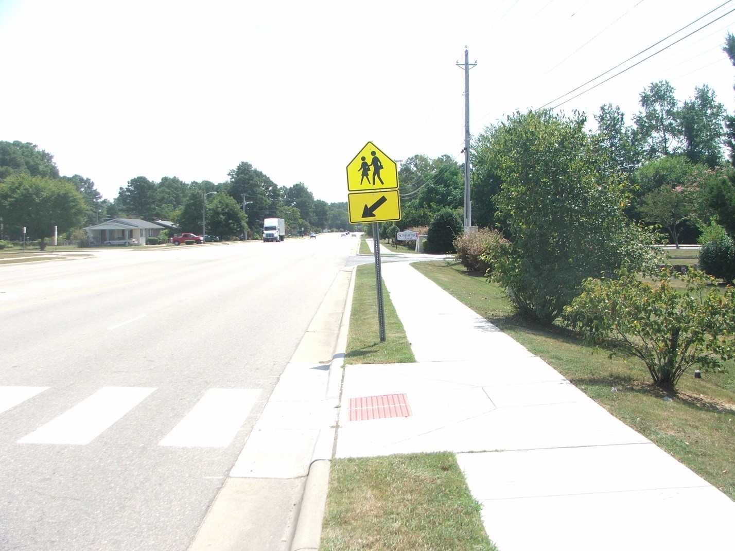
GEL Solutions executed a full conventional survey of 22,000 feet of US 301 and four intersecting streets in Wilson, NC. These included Lipscomb Road, Martin Luther King Parkway/Nash Street, Black Creek Road and Herring Avenue.
The Challenge
In 1955, US Highway 301 was built as a high speed, four lane, divided highway, by-passing the city of Wilson, NC. In the ensuing 62 years, the City of Wilson has engulfed Hwy 301. It is now an oversized, outdated, four-lane city street, which acts as a barrier to pedestrian traffic. US 301 has been widened, cross streets have been paved, a curb and gutter have been added, ditches have been piped, and a hodgepodge of development has occurred. Most of these “improvements” have been added as needed with no real planning involved. Very few as-built plans for these improvements exist. In addition, Wilson has very flat coastal plain terrain, which has caused many of the storm water pipes to become filled with silt which causes the highway to flood frequently. GEL’s challenge in performing full conventional surveys was to figure out the connectivity of the stormwater drainage systems, as well as to determine pipe sizes and material types. In many cases the storm drains were completely buried in silt.
GEL Services Provided
GEL Solutions performed a complete inventory survey of 22,000 feet of US 301 and four intersecting city streets in Wilson, North Carolina. These included Lipscomb Road, Martin Luther King Parkway/Nash Street, Black Creek Road, and Herring Avenue. The survey was carried out using RTK/GPS and conventional surveying methods. Prior to initiating the survey work, GEL Solutions established 19 GPS monuments to be used as primary horizontal and vertical control. The survey included courthouse research, contacting property owners, and locating property corners for 192 properties. The survey also included locating all topographic and planimetric features, locating all gravity utilities and pipe inverts, performing hydrographic surveys of two streams, and locating and identifying all utility poles within the project limits.
The Result
GEL Solutions delivered a detailed base map the of project corridor identifying all of the adjacent property owners and showing all of the topographic features and improvements to Michael Baker Engineering, Inc.. This map will provide design information and construction control needed for our client to design and construct a project that will transform US 301 from an outdated urban interstate highway to a modern multimodal facility. The modern roadway will accommodate truck and vehicle traffic, while bicycles and pedestrians will be accommodated with new biking trails, walking trails, and sidewalks.