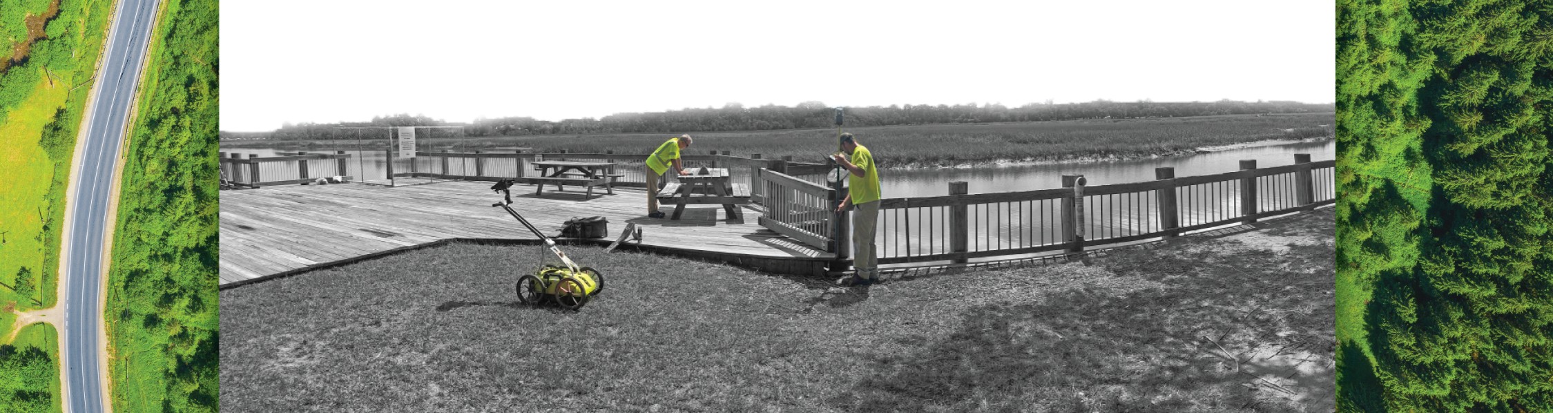
Our Services

Ground Penetrating Radar

Rapid collection of data for a wide range of geophysical applications.

GPR is an electromagnetic method that detects interfaces between materials with differing electrical properties. The instrument produces a continuous cross-section of subsurface reflections that can be viewed by the operator in real time or downloaded to a laptop and post-processed for more thorough analysis. GPR is able to detect both metallic and non-metallic objects.

Applications

Depth to bedrock

  • Mapping of soil stratigraphy including clay, sand, gravel deposits
  • Imaging of buried foundations or other structures
  • Cultural and archaeological ruins or artifact mapping
  • Utility mapping in 2D or 3D
  • Underground storage tank detection
  • Karst and void detection
  • Groundwater exploration
  • Asphalt and concrete thickness determination
  • Hydrographic bathymetric and sediment mapping


More details HERE.


Our Locations: Charleston, South Carolina; Raleigh and Greensboro North Carolina.  Visit our contact page for details.

top