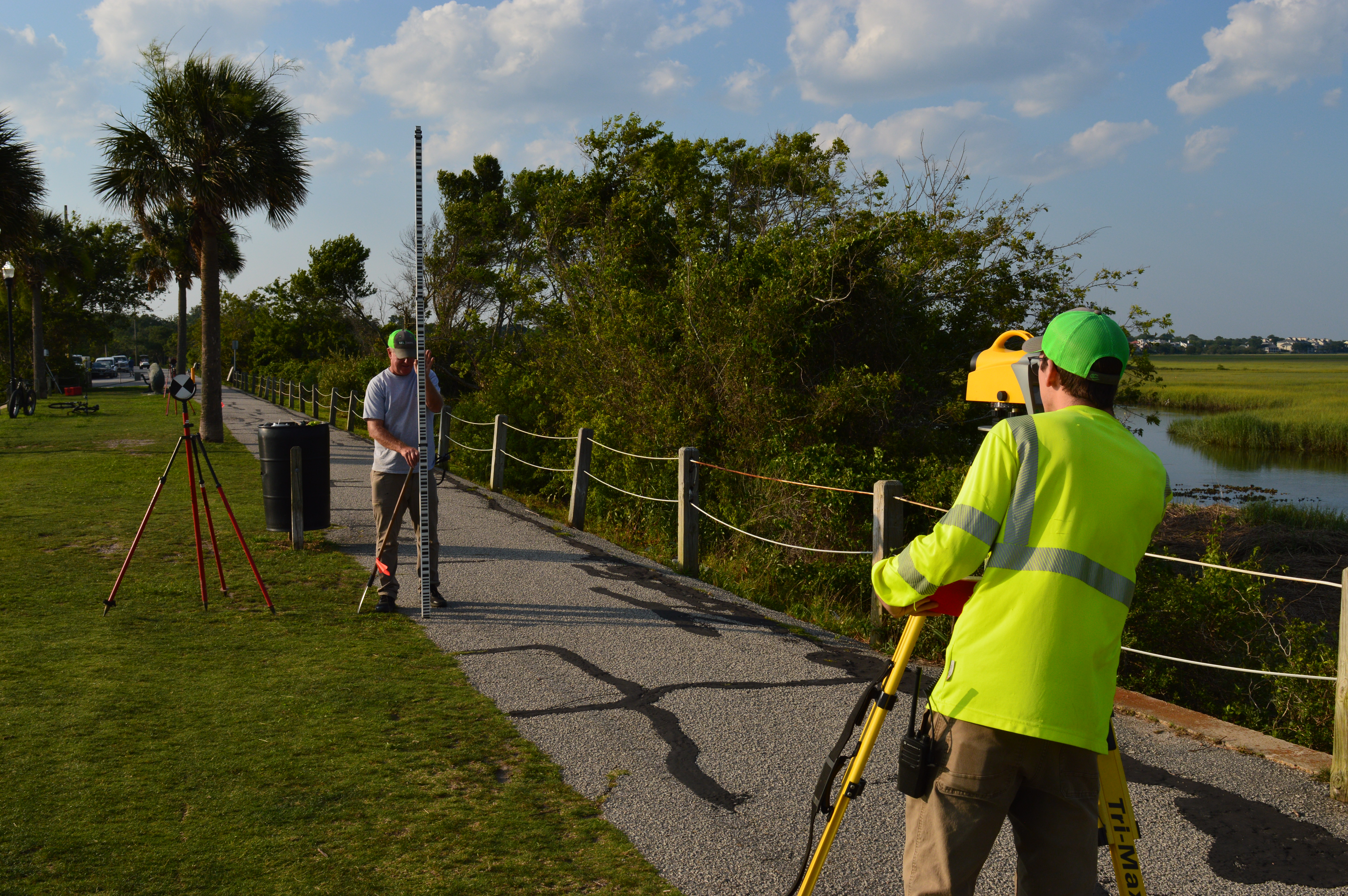
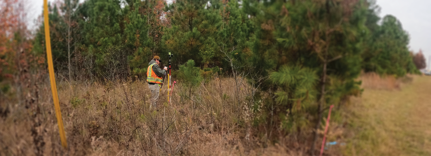
At GEL Solutions, we understand that the availability of precise, accurate, complete, and timely survey information can make a difference in the overall success of a project. Our experienced Project Managers and Professional Licensed Surveyors have extensive experience performing essential surveying services. Our ultimate goal is to work closely with you to yield information that will add significant value to your project and keep the project on schedule and on budget. Our project portfolio includes managing projects for a diverse group of clientele such as: municipalities; transportation departments; developers; architectural; engineering; construction; and utility firms. Our team has over 100 years of combined experience managing complex surveying projects throughout Georgia and North Carolina. We have a Passion for Excellence…Devotion to our Profession…and a Commitment to Quality.

GEL Solutions offers a wide range of surveying services and maintains a comprehensive list of the latest surveying equipment and drafting/mapping software. We also employ staff who possess the professional registrations and experience to ensure the technical accuracy of each project. By performing the survey services required for your projects using our licensed professional surveyors, your data will be reliable, accurate, and defensible.
We provide a wide range of surveying services including:
ALTA / ACSM SURVEYS
GEL Solutions can provide surveys according to standards adopted by the American Land Title Association and the American Congress for Survey Mapping.
UTILITY AS‐BUILT AND POST‐CONSTRUCTION SURVEYS
GEL Solutions provides As‐built surveys and prepares drawings to show the horizontal and vertical placement of utility systems. This information is often required for release of bonds or payments or for confirmation that utility lines are accurately located.
UTILITY SURVEYS AND MAPPING
GEL Solutions specializes in providing detailed locations and mapping for underground utilities through our extensive knowledge and experience with the Subsurface Utility Engineering process.
BOUNDARY AND EASEMENT SURVEYS
GEL Solutions provides boundary surveys which are often necessary to confirm the location of property lines on projects. The location of property lines is an essential element on projects that involve the following:
- Subdivisions of land
- Design and development of improvements that are near or cross boundary lines
- Easements or rights of way
- Regulatory setback lines
- Purchase, transfer, or mortgaging of real property
TREE LOCATION SURVEYS
Counties and municipalities often have tree ordinances that stipulate how to perform site work around existing tree resources. GEL Solutions provides tree surveys to identify size, species, condition and location of trees on a parcel of land. This information is critical to project planning and engineering to ensure the protection of trees and compliance with applicable regulations.
TOPOGRAPHIC SURVEYS
GEL Solutions provides topographic surveys that capture the physical features of the earth, as well as the elevations of the subject property that are typically used for planning and engineering.
ROUTE SURVEYS
GEL Solutions provides route surveys along existing rights‐of‐way and new location for the use in planning and engineering. With multiple crews, we are equipped to provide this data for large and small projects in a short period of time.
CONSTRUCTION LAYOUT SURVEYS
GEL Solutions provides construction stakeout surveys and layouts of the existing conditions of the future work site, including topography, existing buildings and utilities. From construction project control to building layout, GEL Solutions' surveys help guide the construction of new projects and keep projects on schedule.
GLOBAL POSITIONING SYSTEM (GPS) SURVEYS
Using state‐of‐the‐art GPS, GEL Solutions can perform Static or RTK surveys.
- Static GPS Surveying is used to establish survey control points with State Plane Coordinate grid values at high precision.
- RTK (Real‐Time Kinematic) GPS Surveying may be used to obtain survey data relative to a single reference station, using real‐time corrections.
SETTLEMENT SURVEYS
GEL Solutions provides elevations used to determine the vertical movement of foundations or structures over time.
VOLUME SURVEYS
Volume surveys are primarily used to measure the quantity of materials that have been moved on a site or stored on a project. The material may include soil, stone, coal, agricultural products, silt and others. In many cases, these numbers are used to determine a basis for payment.
SURVEYS OF DELINEATED WETLANDS
Surveys of delineated wetlands are provided to determine the limits of United States protected wetlands under the jurisdiction of the U.S. Army Corps of Engineers. These surveys, used for site planning and engineering, are commonly a basis for permitting applications and mitigation of these protected areas.
PROPERTY SURVEY CONDEMNATION MAPS

GEL Solutions performs Property Surveys for Departments of Transportation (DOTs). When DOT projects require acquisition of property extending beyond the State’s existing rights‐of‐way (ROW), they must negotiate a settlement with the property owner. In the event a settlement cannot be reached between the two parties, the case will go to mediation and possibly to court. If either mediation or court are necessary, a Property Survey is required to provide the mediator or court with a Condemnation Map. The map serves as an exhibit illustrating boundaries of the private property owned, the existing DOT ROW, and the proposed new boundaries for both. The map also illustrates the relevant project area, proposed damages to the property, and pertinent topographic features. The map is used to aid in reaching a monetary settlement for the property owner.
RESIDENTIAL / COMMERCIAL SUBDIVISIONS
GEL Solutions has a comprehensive understanding of the land development process for both residential and commercial sites.
PHOTOGRAMMETRIC GROUND CONTROL
Photogrammetry is the science of making accurate measurements from photographs. GEL Solutions uses high‐speed imaging and remote sensing in order to detect, measure and record complex 2‐D and 3‐D motion fields to recover exact positions of surface points. GEL also can provide ground targets with corresponding horizontal and vertical control utilized in photogrammetry.
GIS MAPPING
GEL Solutions provides Geographic Information System (GIS) mapping to help clients organize large amounts of data. GEL Solutions is equipped with GPS units that capture data, and can then be imported into GIS software used to compile large databases.
GEODETIC CONTROL SURVEYS
GEL Solutions offers geodetic control surveys which provide a high degree of accuracy. Traditional surveying methods reference physical benchmarks as control points. Over time, the positions of these objects can be altered due to land movement and other factors. The geodetic control method utilizes Continuously Operating Reference Stations (CORS) which have continuous contact with global navigation satellite systems (GNSS/GPS) to provide highly accurate and updated location points, un-affected by physical forces.
HYDROGRAPHIC SURVEYS
GEL Solutions performs hydrographic surveying services to map under water environments, structures and shorelines. We can operate in a range of water bodies including ponds, lakes, rivers, waterways, and oceans. Hydrographic survey data can be beneficial for marine construction, marine structure inspections, dredging operations, flood plain mapping, pipeline inspections, environmental and habitat monitoring.
FLOOD INSURANCE CERTIFICATES
GEL Solutions can provide flood insurance certificates for property owners to support proper rates for flood insurance. This documentation details the precise location of a property and accurate elevations of structures in relation to base flood elevations (BFEs). It is not uncommon for homes or buildings to be mapped inaccurately and considered to be in flood zones. Flood insurance certificates are commonly sought after when a property is in a flood zone and the owner is considering disputing it.
DIGITAL BASE MAPS
GEL Solutions can prepare detailed digital base maps which are a necessary component in developing any Geographic Information System (GIS.) They provide the framework around the target area, help define its location, scale and other details describing the surrounding environment. Digital Base Maps are often essential for engineering purposes such as land development, urban development, infrastructure planning, underground utility design and environmental monitoring.
3D LASER SCANNING (LIDAR)
GEL Solutions offers 3D laser scanning, an advanced LiDAR mapping technology that produces high quality, 3D data. This fully portable system can be employed to accurately document and record a range of objects and landscapes and can withstand harsh environmental conditions. 3D laser scanning allows for coverage of large areas in a short amount of time while delivering detailed, precise results. In our approach, we utilize the following methods:
Get In Touch
How we can help you solve your unique challenge with our breadth of expert services.
